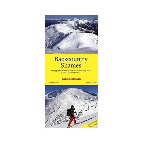
Product details
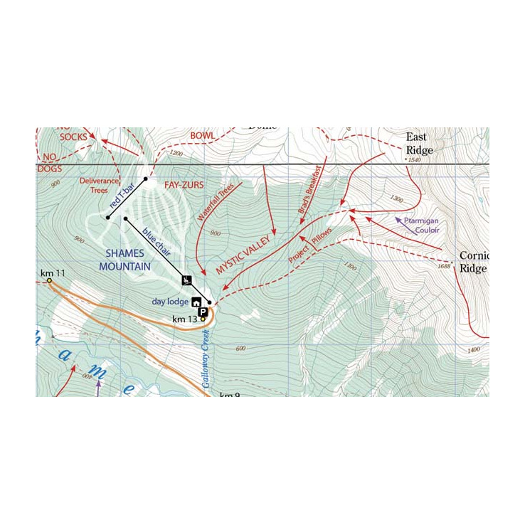
Backcountry Shames describes backcountry skiing near Shames Mountain ski area in northwestern British Columbia. Routes are marked on a 1:33,300 scale topographic map and include information on ski ascent routes, ski runs, popular names, backcountry cabins, driving distances and parking areas.
This customized topographic map is based on the 1:20,000 BC Provincial Government TRIM maps which are produced from 1:40,000 scale black and white aerial photographs.
Features
- Customized topographic map
- Detailed ski routes
- Backcountry ski runs
- Backcountry cabins
- Waterproof, tearproof
- Table of slope angle relative to contour spacing
- 1 km UTM grid lines
- Latitude and longitude
Specifications
- Scale 1:33,300
- Contour interval 20m
- NEW - larger size
- 24" X 36.8"
- Folds to 4.25" X 9"
- Waterproof and tearproof
- Full colour
- REVISED - second edition
- ISBN: 978-0-9919479-2-8