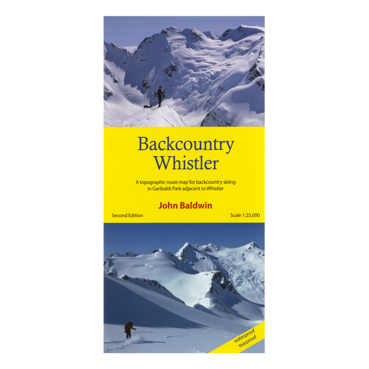
Product details
Backcountry Whistler is a topographic route map for the mountains of northern Garibaldi Park adjacent to and beyond Whistler-Blackcomb ski resort. Route information for ski mountaineering, backcountry skiing, steep skiing and hiking is marked on a large scale 1:25,000 map and accompanied by detailed descriptions on the back of the map. The map covers the Spearhead and Fitzsimmons Ranges, which offer some of the finest and most accessible ski mountaineerimg in the Coast Mountains. The terrain varies from extensive alpine areas with glaciated summits to open meadows, glades and steep forest. Backcountry ski trips varying from a few hours to four or more days, range from rolling tours with gentle glade skiing to high-alpine ski ascents with long glacier runs and steep couloirs.
Includes the popular Spearheads Traverse, which crosses a dozen glaciers en route from Blackcomb to Whistler ski areas, and is often described as one of the 50 best backcountry ski trips in North America.
Features
- Waterproof, Tearproof
- Routes marked on the map for ski mountaineering, backcountry skiing, steep skiing and hiking
- Self contained guidebook on back of the map
- 1 km UTM grid lines
- Table of slope angle relative to contour spacing
- Crevasses
- Detailed forest cover from satelitte imagery
- Map of avalanche terrain ratings
- Subtle shaded relief
- Metric conversion
Specifications
- Scale: 1:25,000
- Contour interval 20m
- Dimensions: 27" X 34"
- Folds to 4.25" X 9"
- Full colour front and back
- Waterproof and tearproof
- 30 colour photographs
- ATES map
- 11,000 words of text
- Second Edition
- ISBN 978-0-9919479-1-1
Add your review
Review Backcountry Whistler - Second Edition