Product details
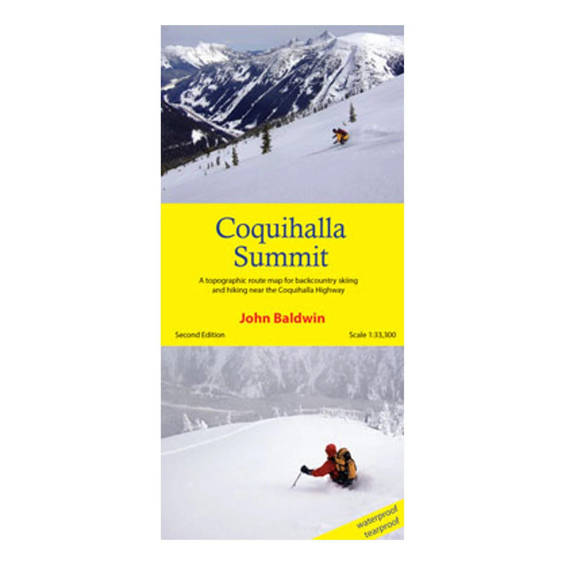
Coquihalla Summit describes backcountry skiing and hiking routes to alpine areas accessible from the Coquihalla Highway 5 in southwestern British Columbia. Routes are marked on a 1:33,300 scale topographic map and include information on ski ascent routes, ski runs, popular names, hiking trails, driving distances and parking areas.
Features
- Customized topographic map
- Detailed ski routes
- Backcountry ski runs
- Hiking trails
- Waterproof, tearproof
- Table of slope angle relative to contour spacing
- 1 km UTM grid lines
- Latitude and longitude
- Based on the detailed TRIM maps
- Metric base map with 20m contours
Specifications
- Scale 1:33,300
- Contour interval 20m
- Unfolded: 27" X 36"
- Folds to 4.25" X 9"
- Waterproof and tearproof
- Full colour
- REVISED - second edition
- ISBN: 978-0-9919479-4-2
Add your review
Review Coquihalla Summit Map (2nd Edition)