
Product details
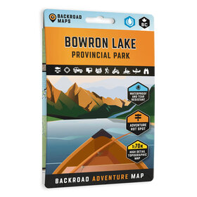
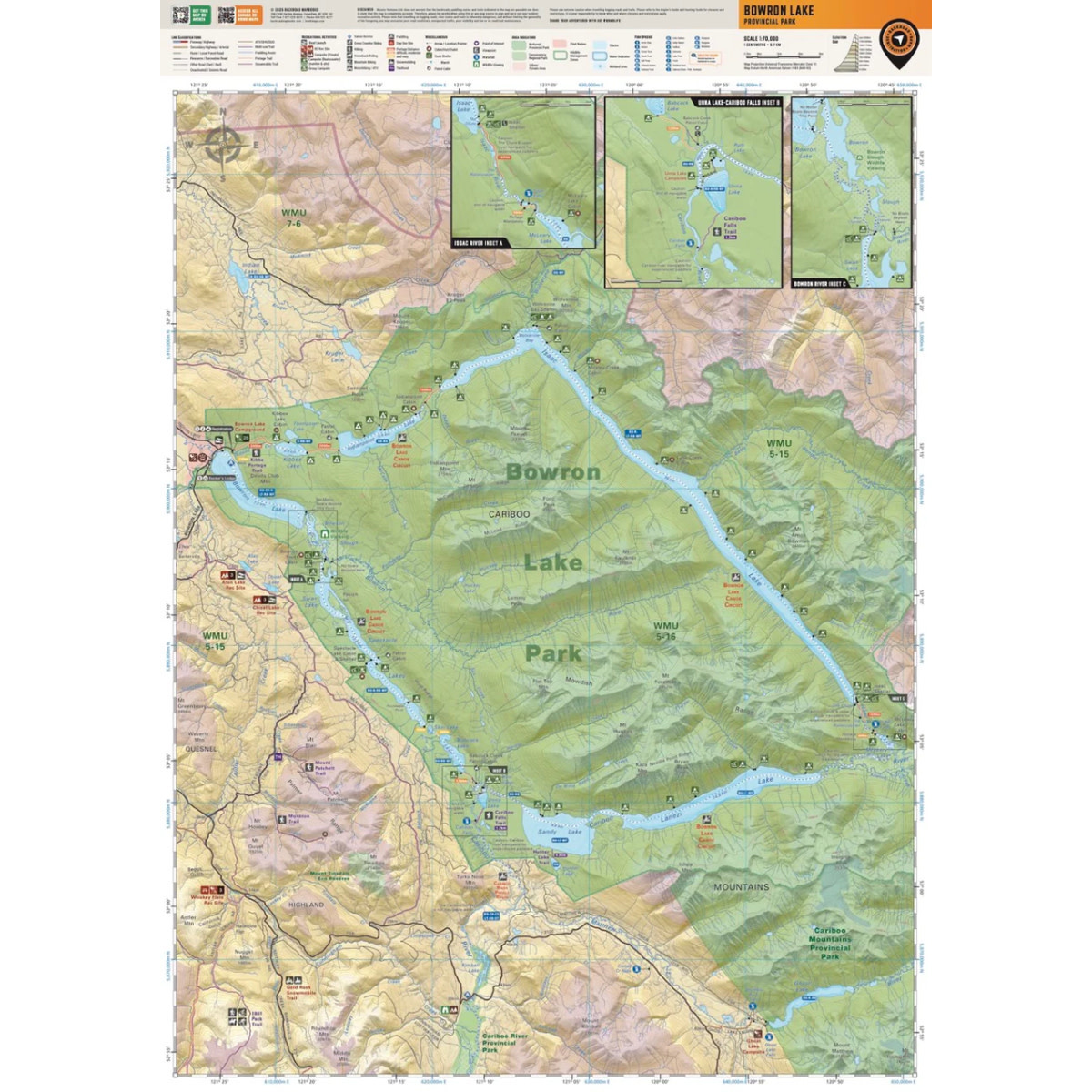
Highlighting the Bowron Lakes Canoe Circuit in Bowron Lake Provincial Park, this waterproof map features the entire canoe route and its access points, campsites, cabins, portage trails with distance markers, fish species, hiking trails and waterfalls. Use this Adventure map for fishing, camping, exploring, canoeing, kayaking, wildlife viewing and more.
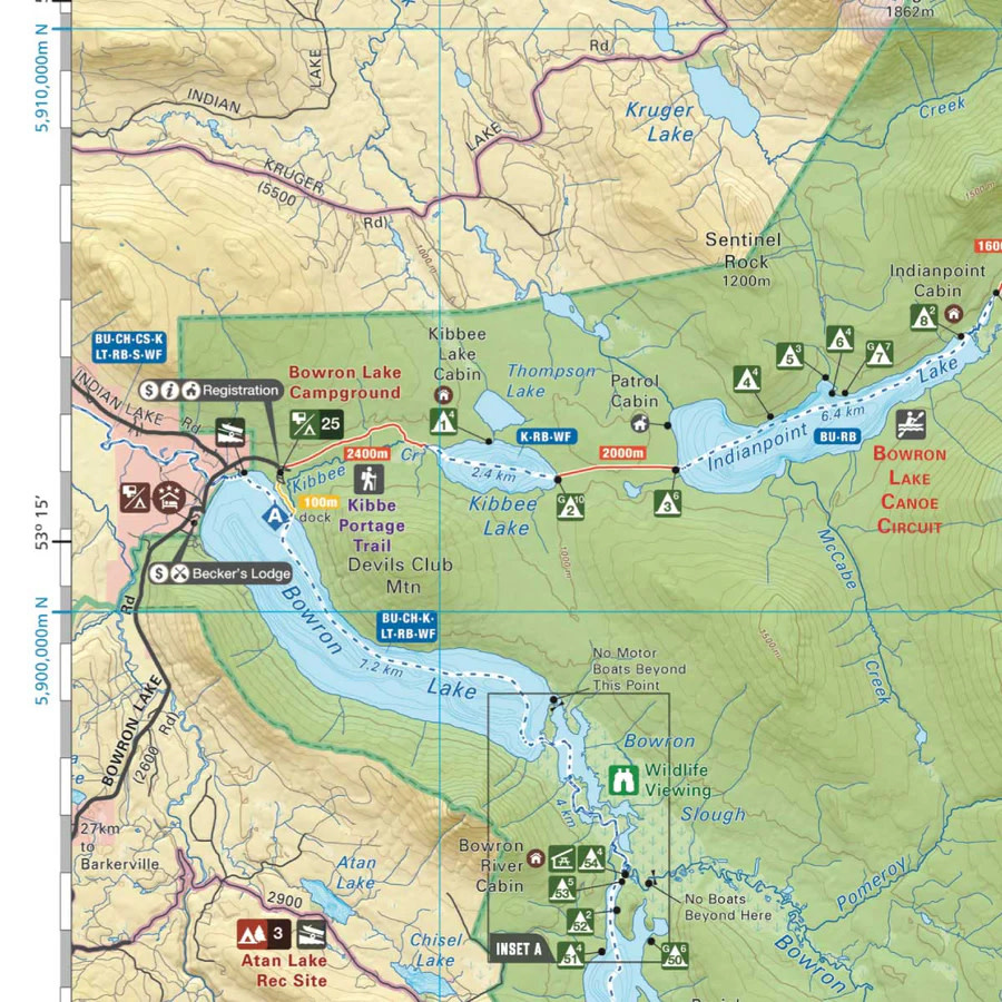
With 1:10,000 water and road data, no other map for the area provides you with this level of recreational or topographic detail. Covering 2,715 sq. km (1,050 sq. mi), this map includes Bowron Lake Provincial Park, Bowron Lake, Bowron River, Cariboo Falls, Cariboo River, Indianpoint Lake, Isaac Lake, Lanezi Lake, Spectacle Lakes, Swan Lake and more!
The printed version of the map is displayed at 1:70,000 scale on 5x8.25 inches (folded) / 27.8×39.4 inches (unfolded) paper on a durable waterproof synthetic material.
Print Features
- NEW: Now in an easy-to-read, bigger format, 5x8.25 inches (folded) / 27.8×39.4 inches (unfolded)
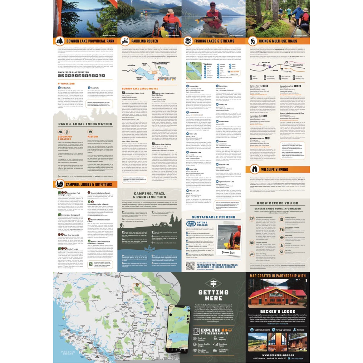
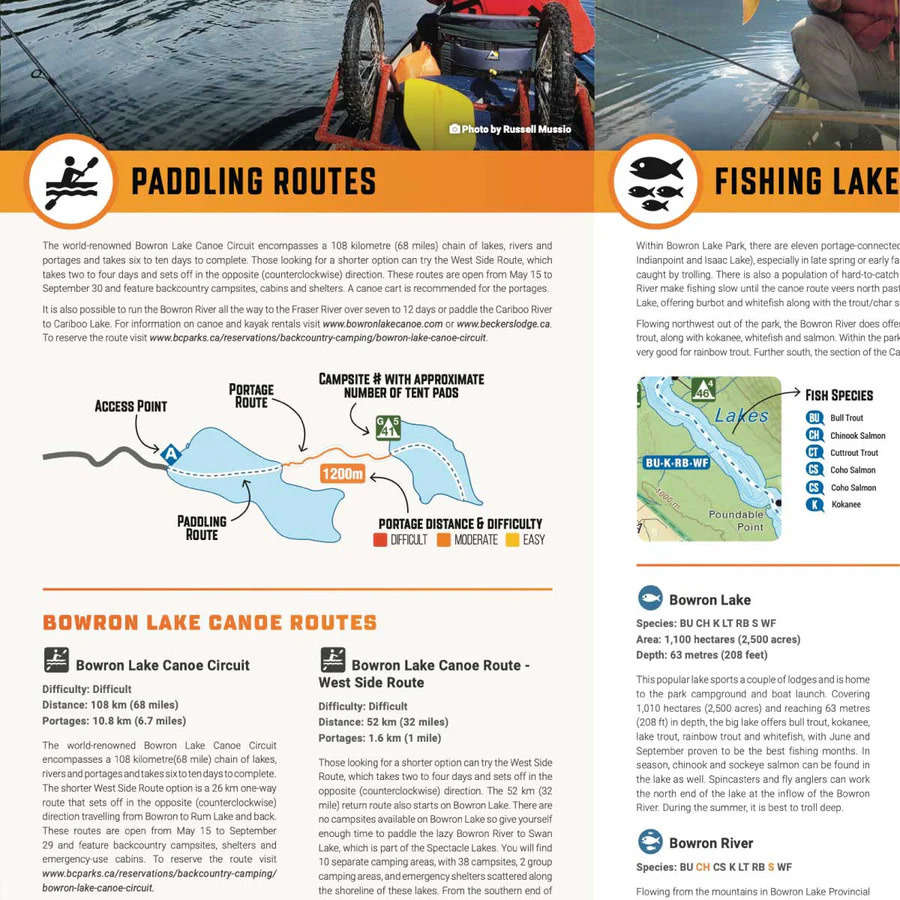
- NEW: In addition to the maps, we have included several trip planning sections with information about the park, camping, lodges, outfitters, paddling routes, fishing lakes & streams, hiking & multi-use trails, wildlife viewing and tips & techniques.
- Printed on durable waterproof, and tear-resistant material
- Includes industry-leading cartographic detail and state-of-the-art relief shading
- Countless points of interest, hiking trails, campsites, boat launches, paddling routes and more!
Specifications
- Map Scale: 1:70,000 Scale
- Release: 2025 2nd Edition
- Dimensions: 5x8.25 inches (folded) / 27.8×39.4 inches (unfolded)
- Double-Sided
Area Covered
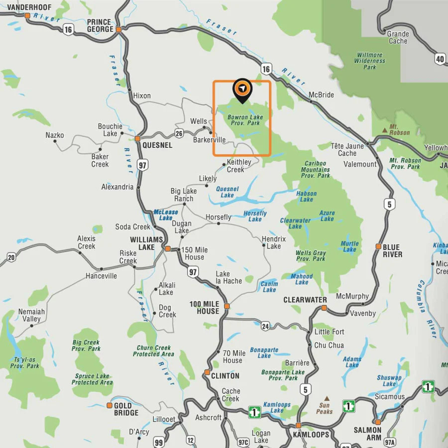
Bowron Lake Provincial Park, Bowron Lake, Bowron River, Cariboo Falls, Cariboo River, Indianpoint Lake, Isaac Lake, Lanezi Lake, Spectacle Lakes, Swan Lake, Cariboo, BC, Canada
Add your review
Review Bowron Lake Provincial Park Waterproof Adventure Map