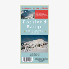
Mighty Bighorn Maps publishes this map for backcountry skiers and snowboarders. It’s been created with the help of CAA professionals, ACMG/UIFMG members, and GIS technicians. It contains three maps, a 1: 25,000, 1:30,000 and 1:40,000 topographic map with
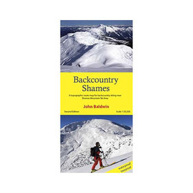
Backcountry Shames describes backcountry skiing near Shames Mountain ski area in northwestern British Columbia. Routes are marked on a 1:33,300 scale topographic map and include information on ski ascent routes, ski runs, popular names, backcountry cabins
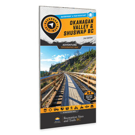
Okanagan Valley & Shuswap BC Waterproof Recreation Map (3rd Edition)
In stock
•••••
SKU OSMBC-3rd Edition
From the sun-soaked ridges of the South Okanagan to the snow-laden slopes of the Monashees, this map is made for those who don’t just pass through—they truly dig in. Designed with real use in mind and packed with intricate details, it’s your trusted compa
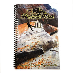
A guide to several climbs in the Shuswap around Salmon Arm, British Columbia. Includes climbs for several locations, each with multiple routes mapped out.
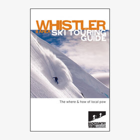
The Backcountry Skiing Canada Whistler & Area Ski Touring Guide is your resource for information on ski touring powder in the Coast Mountains of British Columbia. It is 36 pages and covers Whistler/Blackcomb Mountain Resort, Elfin Lakes and Duffy Lakes.
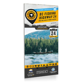
Located within the stunning Cariboo Chilcotin Coast & Thompson Okanagan regions of British Columbia, the Land of Hidden Waters and BC Fishing Highway 24 corridor features some of the most well-known and best fishing lakes in the province. Highlighting lak
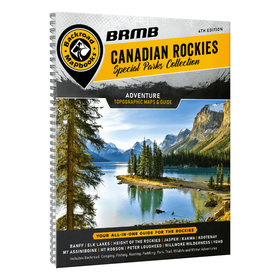
Welcome to this special edition of the Backroad Mapbook series. This book focuses on the Canadian Rocky Mountain Parks an interconnected system of provincial and national parks covering more than 30,000 square kilometres (18,630 square miles) of one of Ca
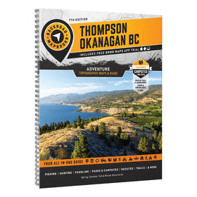
Thompson Okanagan BC Backroad Mapbook (7th Edition)
In stock
•••••
SKU Thompson Okanagan BC Spiral-7th
From the watersport haven of Okanagan Lake and the desert beauty of Osoyoos, to the beaches of the Shuswap, lush forests of Manning Provincial Park, and the rugged wilderness of Wells Gray and Mount Robson, this region is a dream for outdoor enthusiasts.
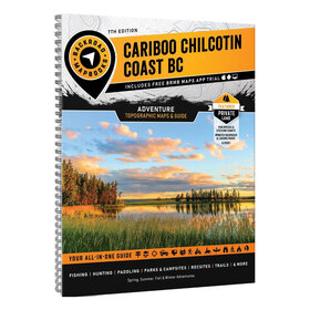
Cariboo Chilcotin Coast BC Backroad Mapbook (7th Edition)
In stock
•••••
SKU CCBC
Home to vast stretches of untouched wilderness, the Cariboo Chilcotin Coast is one of Canada’s final frontiers. With towering mountains scraping against the sky, sprawling steppes covered with wildflowers, remote valleys carved by ancient rivers and an un
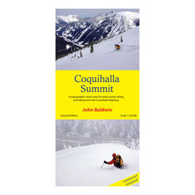
Coquihalla Summit describes backcountry skiing and hiking routes to alpine areas accessible from the Coquihalla Highway 5 in southwestern British Columbia. Routes are marked on a 1:33,300 scale topographic map and include information on ski ascent routes,
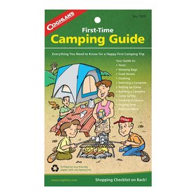
Written for parents or grandparents with little knowledge about the outdoors, yet want to take their family out camping. The 32-page booklet includes a comprehensive shopping checklist that empowers sales staff and reassures nervous novices that theyre on