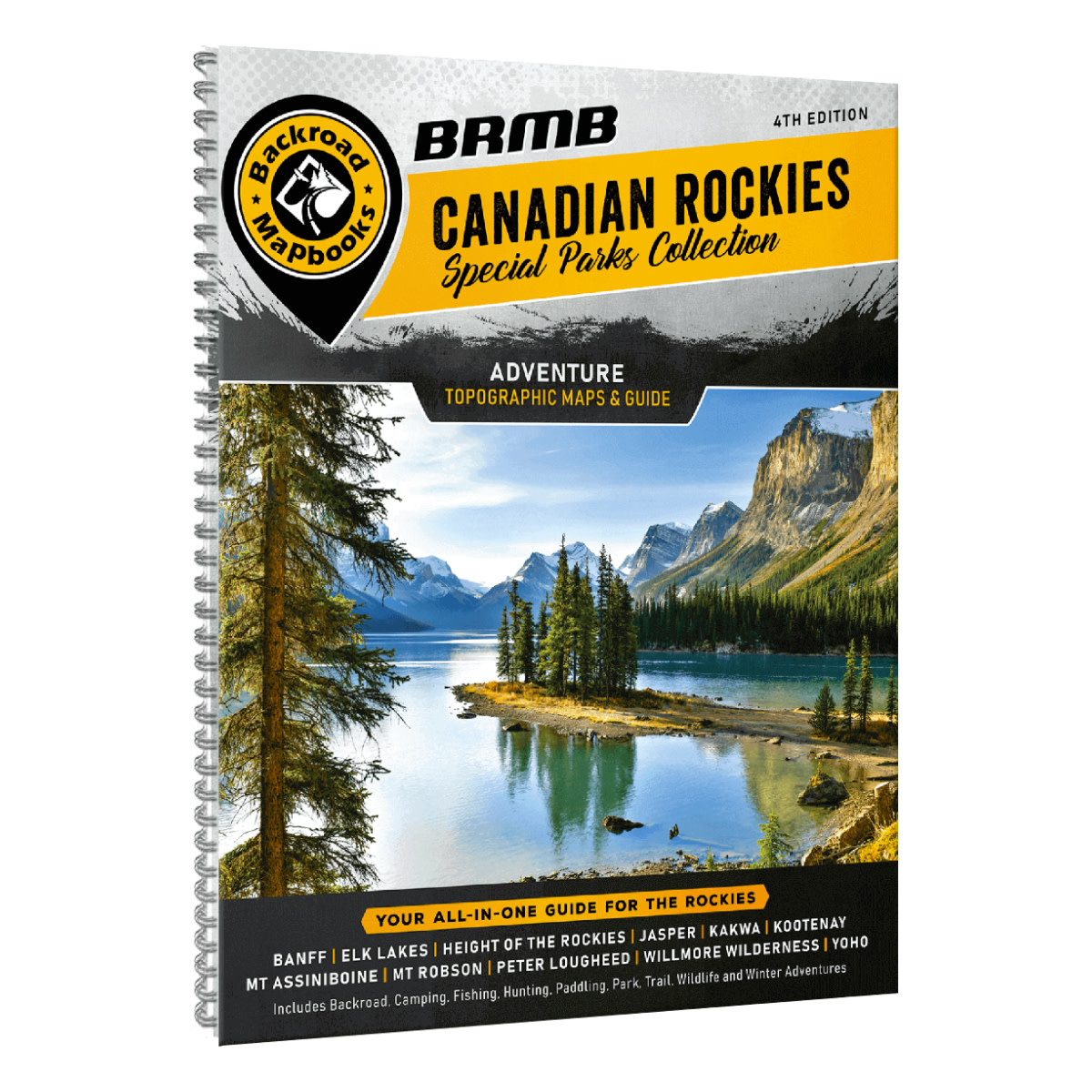
Product details
Welcome to this special edition of the Backroad Mapbook series. This book focuses on the Canadian Rocky Mountain Parks an interconnected system of provincial and national parks covering more than 30,000 square kilometres (18,630 square miles) of one of Canada's most beautiful territories. These parks vary in popularity and access yet they all have the standard towering mountain peaks, rushing rivers, ancient glaciers, wildflower-filled meadows, brilliant blue lakes and dense forests that make up this outdoor paradise. With so much area to explore, it can be overwhelming trying to decide on where to go. Luckily, this Canadian Rockies Mapbook provides a well-organized and easy-to-use breakdown of the region's parks to help you decide on the adventure that is right for you. With state-of-the-art topographic maps, detailed trip-planning resources and meticulously researched adventure listings, the 4th Edition Mapbook will ensure you make the most out of your Rockies experience.
This updated edition covers in detail Banff, Jasper, Kootenay and Yoho National Parks as well as the major provincial parks flanking these gems. Each park features a park overview or detailed recreation map (depending on the size of the park), along with detailed trail or city maps for popular areas within most parks. Map updates include regular road and trail updates, refinement of camping locations to include campsite number, history of the parks, additional Points of Interest and Trailhead locations were added, while fish species were added to the lakes and maps.
The printed version of the mapbook comes in the convenient 21.5 x 28 cm (8.5 x 11 inch) mapbook format with a heavy-duty spiral-bound cover. The 216-page book includes 71 maps of various scales, along with comprehensive coverage of eleven National and Provincial Parks. Each park offers invaluable insight into the park's outdoor activities, places to stay and Things to See and Do. The book also features Tips & Techniques for the main activities, a Map and Adventure Index, Trip-Planning tools and more. No other source combines this level of detail into one source, making it the perfect planning tool and companion to any trip through the Rocky Mountain parks.
Features
Topographic Maps
In your durable, heavy-duty, spiral-bound 21.5 cm x 28 cm (8.5" x 11") Canadian Rockies map book you will find 45 detailed topographic maps spanning the region, complete with labeled recreation sites, amenities, highways, backcountry roads, trails and other points-of-interest. In this edition they have included six new maps covering the foothills south of Calgary and extending northwest to include Kakwa Interprovincial Park.
Unique to this Mapbook, they have also included Overview Point of Interest Maps as well as Detailed Topographic Maps at various scales for all of the National and Provincial Parks. These user-friendly maps boast a level of cartographic sophistication unparalleled even by government resources – making them the maps of choice for search-and-rescue.
Index
Newly divided into Map and Adventure sections, the handy index makes this Mapbook a leading publication in terms functionality and quality. You’ll find page numbers and map coordinates for each activity and location, plus important numbers, distance charts and an advertiser list for easy referencing.
Tips & Techniques
New to this edition, an expansive Tips & Techniques section covers most activities popular in the Rockies parks. For camping, fishing, hunting, paddling, rock climbing, trails, wildlife viewing and winter activities in the National and Provincial Parks of the Rockies, this is where you will find everything you need to know about the backcountry.
Specifications
- Released: 2021
- UPC: 6-22098-00253-9
- ISBN #: 978-1-926806-57-0
- Pages: 216
- Dimensions: 21.5cm x 28cm (8.5" x 11")
- Maps: 45 topo maps @ 1:200,000 + 26 park overview and detailed trail & city maps of varying scale (starting at 1:15,000)
- Digital Format Available: Yes.
- Map Features: Highways, Logging Roads, Land & Water Features, Parks, Adventure Points of Interest, Campgrounds, Hiking Trails, Motorized Trails, Paddling Routes, Hunting & Fishing Areas, Winter Recreation and more
- Areas Covered: Banff, Elk Lakes, Jasper, Kootenay National Park, Height of the Rockies, Kakwa, Lake Louise, Mount Assiniboine, Mount Robson, Peter Lougheed Provincial Park, Radium Hot Springs, Willmore Wilderness, Yoho National Park & more!
Add your review
Review Canadian Rockies Backroad Mapbook (4th Edition)